Topographic Survey
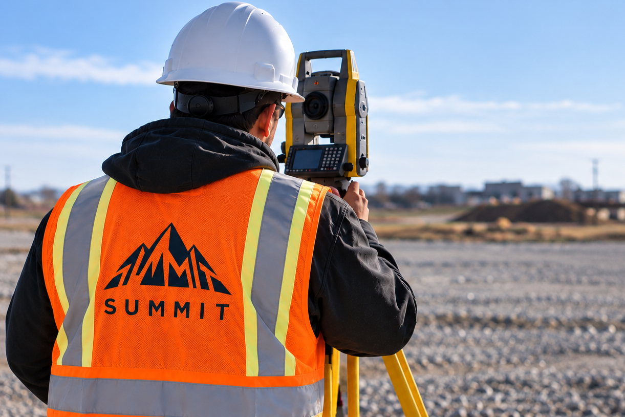
A topographic survey is the process of accurately measuring and mapping the existing features and elevations of a property. Using precise surveying equipment, our team collects detailed information about the land to create an accurate representation of existing site conditions.
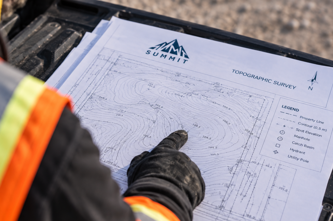
A topographic survey can show ground elevations, contours, buildings, fences, retaining walls, roads, driveways, trees, drainage features, utilities, and other natural or constructed features that may affect the design or development of a property.
Why It’s Important
Accurate site information is essential when planning or designing a project. A topographic survey gives architects, engineers, designers, and contractors a reliable picture of what actually exists on the ground before design or construction begins.
Understanding existing elevations and site features helps identify potential grading, drainage, access, and design considerations early. This can reduce unexpected issues, unnecessary redesign, and costly changes once construction is underway.
Why Use Summit?
We provide detailed, dependable topographic surveys that give project teams the accurate base information they need to move forward with confidence.
Our topographic survey services help:
Establish accurate existing ground elevations and contours
Locate buildings, structures, fences, and other site features
Identify important drainage and surface features
Provide reliable base information for engineering and architectural design
Support grading, drainage, site planning, and development
Reduce uncertainty and potential conflicts during design and construction
Every successful project starts with understanding the site. Summit provides the accurate existing-condition information your team needs to plan, design, and build with confidence.