Our Services
-
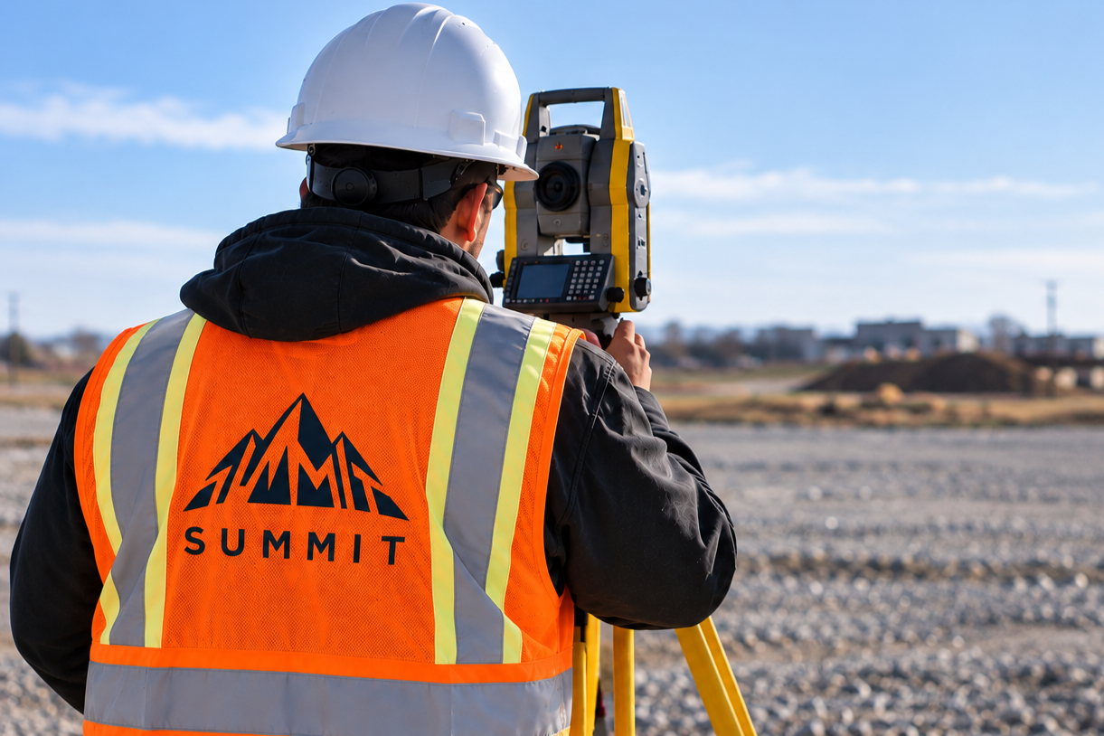
General site grading provides accurate elevations, slopes, and grade information required to support construction. Our team establishes reliable elevation references for roads, sidewalks, parking areas, building pads, curbs, drainage areas, and other site features.
Why It’s Important
Proper grading helps ensure site features are constructed at the required elevations and that drainage performs as designed. Accurate survey information allows contractors to maintain specified grades, identify potential issues early, and reduce the risk of errors and costly rework.
Why Use Summit?
Summit provides precise and reliable grading information to support efficient construction. We work closely with contractors and project teams to deliver accurate field data that meets project requirements and supports successful site development.
-
Quantity surveys provide accurate measurements and calculations of earthworks, materials, and completed construction. Using field measurements and project information, Summit can determine quantities for excavation, fill, asphalt, concrete, granular materials, topsoil, and other construction work.
Why It’s Important
Accurate quantity information helps project teams verify completed work, track construction progress, support contract payments, and manage project costs. Survey-based measurements also provide reliable documentation as work progresses and site conditions change.
Why Use Summit?
Summit provides accurate survey-based quantity calculations supported by reliable field measurements. Our documentation gives contractors, consultants, and project owners dependable information for progress reporting, payment verification, and cost management.
-
Construction stakeout and layout accurately transfers the locations, dimensions, and elevations shown on project plans into the field. Summit establishes precise reference points for foundations, structures, utilities, curbs, grades, and other critical project elements.
Why It’s Important
Accurate layout helps ensure construction is completed in the correct location, alignment, and elevation. Reliable field control reduces the risk of positioning errors, conflicts, delays, and costly rework while supporting efficient construction.
Why Use Summit?
Summit works closely with contractors, engineers, project managers, and trades to provide precise and dependable construction layout. Our field expertise and attention to detail provide the accurate information required to keep projects progressing efficiently.
-
Topographic surveys accurately document the existing features and elevations of a property. They can identify ground elevations, contours, buildings, roads, drainage features, utilities, and other natural or constructed features that influence site design and development.
Why It’s Important
Reliable existing-condition information provides engineers, architects, and contractors with an accurate foundation for design and construction. Understanding site conditions early supports effective grading, drainage, site planning, and development while reducing the potential for unexpected conflicts.
Why Use Summit?
Summit provides detailed and dependable topographic surveys tailored to project requirements. Our accurate field data gives design and construction teams the reliable existing-condition information required for informed planning and design.
-
As-built surveys accurately measure and document completed construction, including the final location and elevation of site improvements. They can document buildings, foundations, roads, utilities, grading, drainage features, and other constructed elements.
Why It’s Important
As-built surveys provide a reliable record of completed construction and help identify differences between design information and actual field conditions. They can also support inspections, approvals, project closeout, and future site work.
Why Use Summit?
Summit provides precise and dependable as-built surveys to verify completed work and document final site conditions. Our accurate field measurements provide project teams with reliable information to support approvals, documentation, and successful project completion.
-
Survey monitoring uses precise measurements taken over time to identify and track movement in structures and site features. Monitoring can be completed for buildings, retaining walls, excavations, shoring systems, slopes, utilities, and other areas where movement may be a concern.
Why It’s Important
Regular monitoring helps identify settlement, displacement, or other measurable movement and provides reliable data for engineers, contractors, and project teams. Baseline and ongoing measurements also establish a documented record of conditions throughout construction.
Why Use Summit?
Summit provides precise and consistent monitoring measurements supported by reliable survey control and documentation. Our monitoring data gives engineers, contractors, and project teams the information required to assess changing site conditions and support informed project decisions.